TAMPA, Fla (WFLA) – Morning low temperatures in the 80s is not normal. The air is always humid in the summer but the dew points have been unusually high in recent months. Mugginess in Florida is dependent on our wind flow pattern.
In Florida, there are two main patterns we forecast for. The normal summer pattern and the reverse summer pattern; clever, we know.
The “Normal Summer Pattern” is dominated by an east or southeast wind steered by high pressure in the Atlantic. This leads to early morning rain on the east coast of Florida.

The sea breeze then merges with the east wind in the afternoon on the west coast. The merging winds result in afternoon showers and thunderstorms.

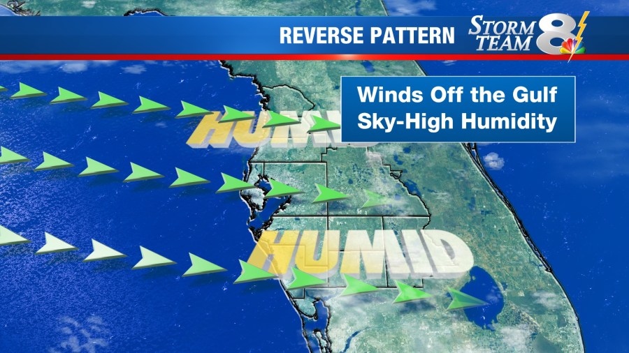
The “Reverse Summer Pattern” is just the opposite. If the high pressure in the Atlantic is farther east, it has less control on the wind direction over Florida. When the wind comes out of the west, off the Gulf of Mexico, the pattern has reversed. As the wind flows over the warm Gulf waters, it picks up and transports evaporating moisture to the coast and over land.

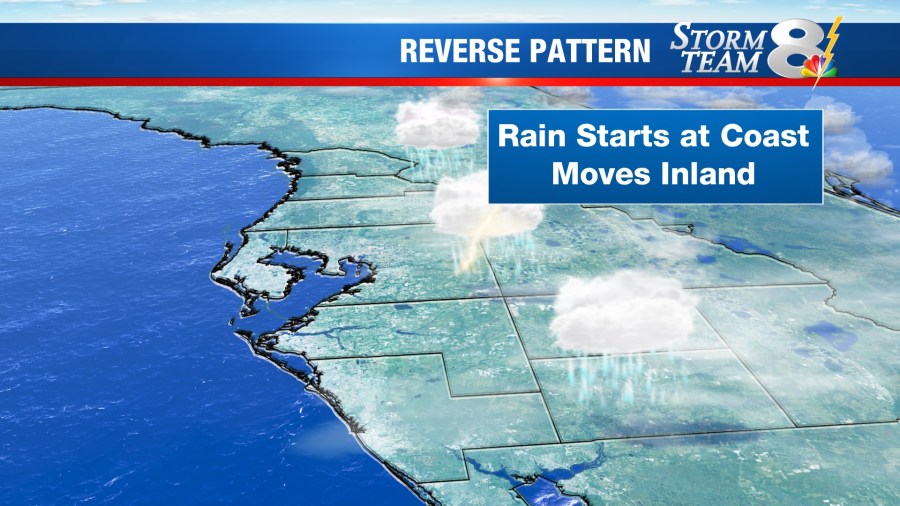
This added moisture being transported to land results in higher dew points, leading to much higher humidity levels. Recently, the reverse pattern has been dominating. The onshore flow also results in higher chances of morning rain near the coast with showers and storms moving inland during the afternoon.

This reverse pattern is persistent and long-range forecasts have not been consistent in bringing the pattern back to normal. Expect the morning showers to continue and humidity levels to stay high for the next eight days.


