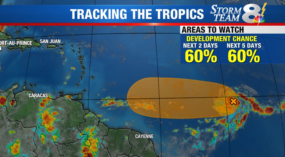
TAMPA, Fla. (WFLA) – The National Hurricane Center is monitoring two tropical disturbances Tuesday morning, one just south of Florida and the other off the west coast of Africa.
The tropical wave entering the Gulf of Mexico has a 40% chance of cyclone formation over the next five days, and a 30% chance of development over the next 48 hours.
Right now, the wave is producing a large area of disorganized showers and thunderstorms over western Cuba, the northwestern Bahamas, southern Florida and the adjacent Atlantic and Carribbean waters. It’s expected to move over the southeastern Gulf of Mexico later today and will arrive in the northwestern Gulf by Thursday.

The disturbance near Africa has a 80% chance of formation over the next 48 hours into the next five days. The storm is heading west over the Atlantic, but is forecast to weaken due to less favorable conditions.
LATEST STORIES:
- ‘Bloom Health Club’ Podcast Preview: Performance & Mindset Coach Debbie Lundberg talks ‘Active Love’ in wake of hurricanes
- It was a question of which of the two she preferred. On the one hand, the choice seemed simple. The more expensive one with a brand name would be the choice of most. It was the easy choice. The safe choice. But she wasn’t sure she actually preferred it.
- Heartfelt Brushstrokes: Pink Dragon Ladies dedicate memorial wall to fallen members
- WFLA DAY: News Channel 8 to broadcast live from the Florida Strawberry Festival
- GUIDE: Everything to know before the Firestone Grand Prix of St. Pete


