TAMPA, Fla. (WFLA) – A tropical wave located west of the Yucatan Peninsula has been given a medium chance of development within the next two and five days.
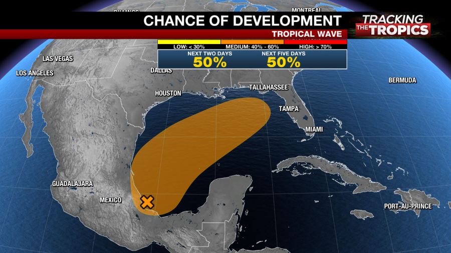
The area of showers and storms will move northeast into the Gulf of Mexico. Sea surface temperatures are warm enough for development, however, upper-level winds are strong and will hinder rapid development.
The National Hurricane Center is warning that regardless of development, rough seas, heavy rain and potentially gusty winds are possible along the northern Gulf Coast Friday and Saturday.

Hurricane Hunters will investigate the system as needed Wednesday.
The disturbance will move quickly into the Gulf and will not have much time to organize.
A front will drop down to the Gulf Coast and sweep the moisture from the system across the southeast. This will ultimately increase rain chances for Tampa Bay this weekend.
A washout is not expected but the increased tropical moisture will keep skies rather cloudy.
Storm Team 8 and the National Hurricane Center will continue to monitor the system for any development and changes to the forecast.
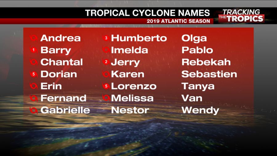
If the disturbance becomes organized enough with sustained winds of at least 40 mph, it would be given the name Nestor.
LATEST FROM STORM TEAM 8:


