TAMPA, Fla. (WFLA) — The National Hurricane Center (NHC) is tracking two disturbances in the Atlantic.
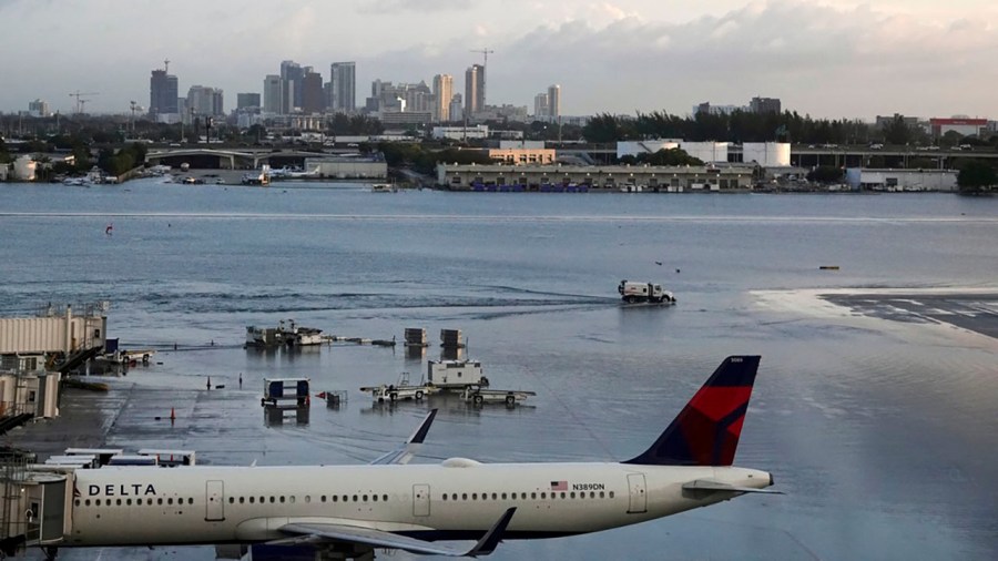
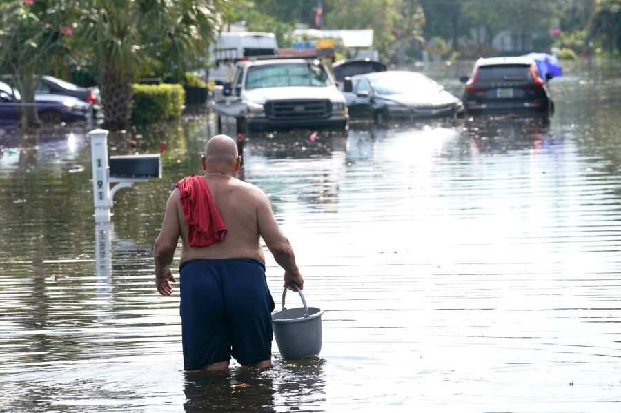
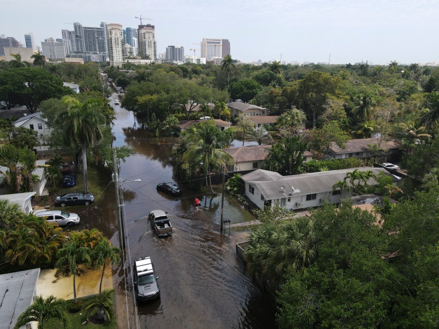
On Thursday, a non-tropical area of low pressure off the southeast Florida coast continued to dump rain on the region, flooding streets and even shutting down schools. Some areas saw up to up to 9 inches of rainfall.
National Weather Service issued a high wind warning for coastal areas on Thursday morning, warning of gusts up to 60 mph. Some areas saw 70 mph gusts, according to Luke Culver, a meteorologist with the National Weather Service in Miami.
It’s the second time this year that Fort Lauderdale has experienced heavy rainfall during a one-day period.
In mid-April, a storm system that stalled over South Florida dumped up to 25 inches (63.5 centimeters) of rain on parts of Fort Lauderdale, causing neighborhoods to flood. The fast-rising water left dozens of motorists stranded on flooded streets and forced Fort Lauderdale-Hollywood International Airport to close.
“I think it’s almost more of a bad luck kind of thing,” Culver said. “That one event (in April) was obviously very historic, on the extreme end of the scale, where this is more of an event that occurs every few years. It just happened to be that they were both in the same year.”
The system is expected to move quickly northeastward, past the Bahamas, and offshore of the eastern U.S. through the weekend, according to the NHC. It is not likely to develop into a tropical cyclone.
NHC forecasters gave this system a near-zero percent chance of formation.
A broad area of low pressure off the Central America coast, Invest 98L, became better organized over the southwestern Caribbean on Thursday.
A tropical depression could form “over the next day or two” as the system moves northeastward toward Jamaica, Haiti, and eastern Cuba, according to NHC.
Those in Jamaica, Cuba, Haiti, the Dominican Republic, the southeastern Bahamas, and the Turks and Caicos Islands are urged to keep an eye on this disturbance. Tropical storm watches could be issued for those areas “as early as this afternoon,” according to NHC.
The system has a 70% chance of formation over the next 48 hours. An Air Force Reserve reconnaissance aircraft will fly to check out the system on Thursday afternoon.
The Associated Press contributed to this report.
Watch Tracking the Tropics Wednesdays at 12:30 p.m. ET/11:30 a.m. CT.
Be prepared with the WFLA Hurricane-Ready Guide 2023 and stay ahead of tropical development with the Tracking the Tropics newsletter.


