TAMPA, Fla. (WFLA) – Hurricane Laura continues to strengthen in the Gulf of Mexico as it gets closer to landfall overnight along the Texas/Louisiana coast.
Dr. Phil Klotzbach, who is part of the renowned hurricane team at Colorado State University, tweeted that it is the fastest intensification of a hurricane in August since Hurricane Irma in 2017. That storm brought wind and flooding to the Tampa Bay area.
Several factors kept Laura weak while it was in the Caribbean: wind shear, dry air, and land interaction.
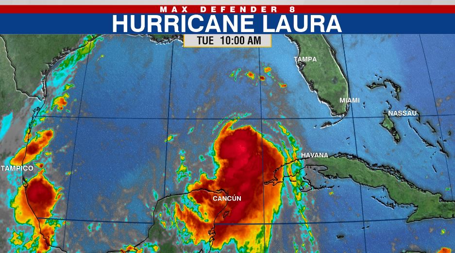
Here’s how the system looked at 10am on Tuesday, August 25. At the time, maximum sustained winds were 75 mph.

As soon as the system entered the Gulf of Mexico, those factors dissipated allowing the system to rapidly strengthen. It is the first major hurricane in the Gulf of Mexico since Hurricane Michael in 2018.
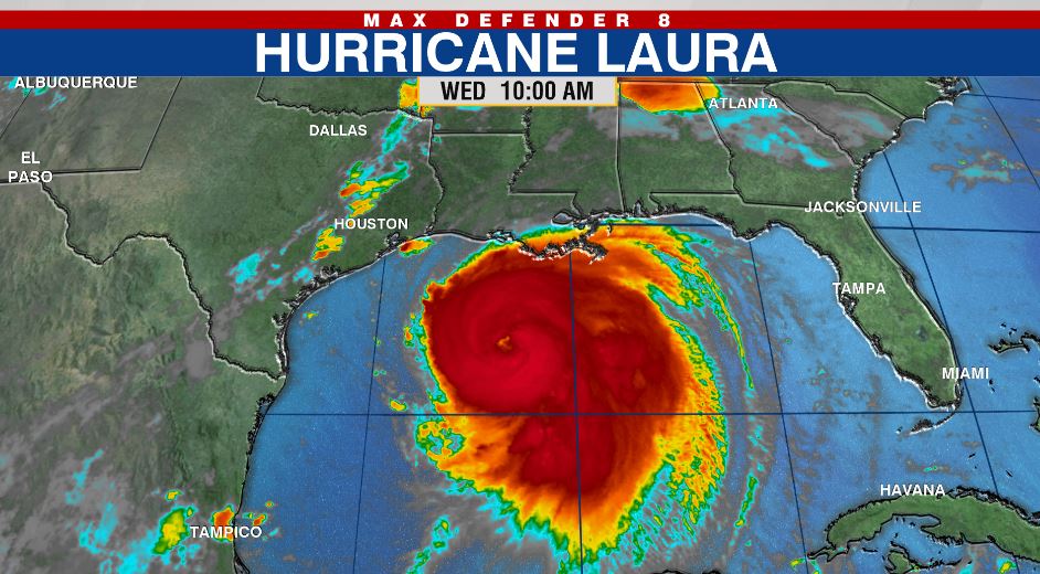
Here is how the system looked at 10am on Wednesday, August 26. The hurricane is much larger with a clearly-defined eye. Winds increased to 115 mph.

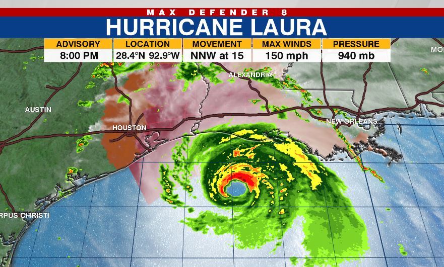
Laura has only strengthened further now sitting as of the 8 p.m. update at 150 mph nearly at a category five hurricane.
Some additional strengthening is possible tonight before Laura reaches the northwest Gulf coast overnight.

LATEST STORIES:


