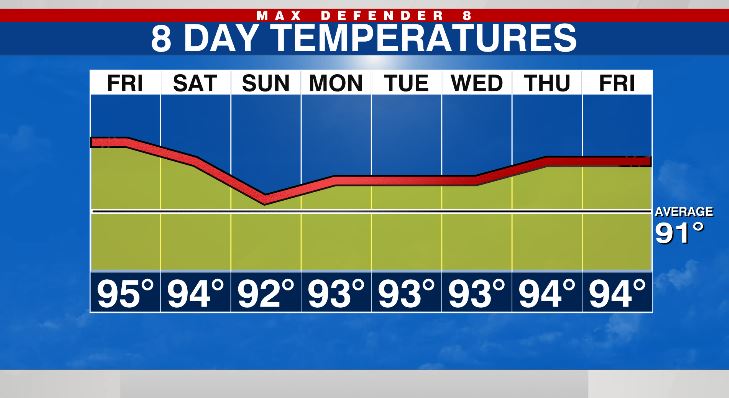
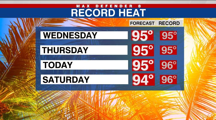
TAMPA, Fla. (WFLA) – For the third day in a row, we should reach 95 degrees. That’s just one degree from today’s record high, but we tied the record highs on Wednesday and Thursday.
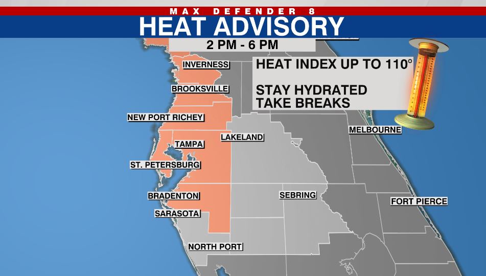
The record heat is one thing, but the humidity adds another uncomfortable element. When you add in the humidity, the heat index could reach 110 in spots. That’s why parts of the Tampa Bay area are under a Heat Advisory from 2pm-6pm. Try to limit time outdoors in the hottest parts of the day, and stay hydrated.
We only have a 20% chance of an afternoon shower today. The rain chance increases to 40% Saturday afternoon. Some of the storms tomorrow will linger east of I-75 into the evening. It’ll still be hot before the storms with highs in the low-mid 90s.
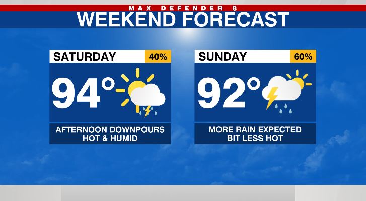
The best rain chance comes on Sunday at 60%. The coverage of rain is higher, and along with the extra clouds, highs stay in the low 90s.
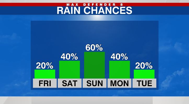
There’s still a 40% rain chance Monday, but the chance goes back down to 20% Tuesday, Wednesday and Thursday. With less rain, highs stay above average in the low-mid 90s, but it should be slightly less humid than we experienced this week.
