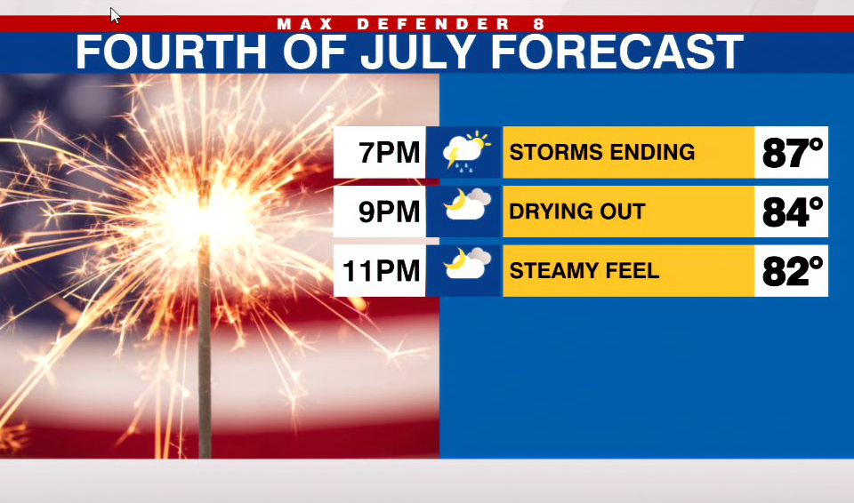
Abundant moisture in the mid-levels of the atmosphere means rain chances will remain above normal for your Sunday and Monday. That also means storms will develop earlier than normal.
Sunday is starting out dry and sunny. But by the early afternoon storms will fire along the sea breeze close to coastal and metro areas. Those storms will become more widespread and move into inland areas by late day, which means coastal/ metro areas will be mostly dry during the late day and evening. Although a leftover shower there is always possible.


That pattern will repeat for Monday – the 4th of July. But the good news is most of the rain will be gone by fireworks time at 9pm.

Not much change is expected through midweek. But a pocket of drier air will move in by Friday/ Saturday which will limit rain chances by then.
In the Tropics things are quieting down for now.


