TAMPA, Fla. (WFLA) — Today was sunny and beautiful. We topped out in the mid 80s, with slightly lower humidity that normal.
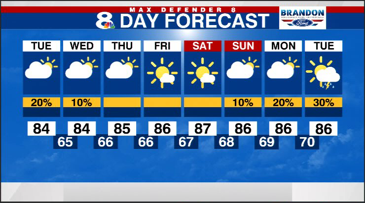
This evening will be lovely, turning cool as we head towards sunset around 7:14 p.m. Temperatures will sink down through the 70s overnight, getting down into the mid to low 60s by early Tuesday morning.
Tuesday morning starts out with “windows open” weather, in the cool mid to upper 60s, climbing into the 70s during the morning hours.
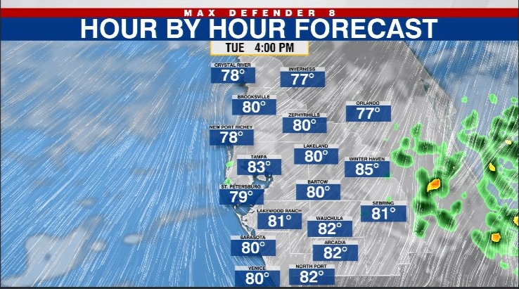
Expect a sunny start and mostly dry conditions. Temperatures in the afternoon will climb into the mid 80s for the afternoon.
A weak front will drift across our area Tuesday afternoon, we have a 20% chances for a few afternoon showers in eastern Polk and Highlands county between 1-6 p.m. Everyone else remains dry and the front reinforces our cooler-than average temperatures.
The humidity will stay quite low for this time of the year through the middle and end of the work week. October is the second driest month of the year in Tampa, on average, so rain chances will be few and far between over the next few weeks as we enter the dry season.
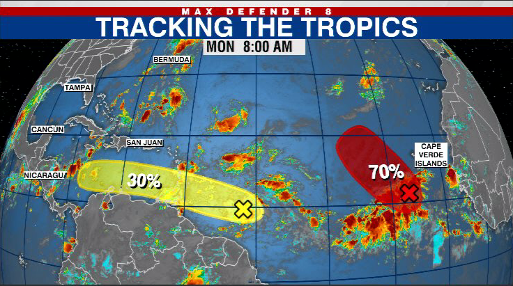
There are a couple of tropical waves we are tracking in the Atlantic. The first wave has a high chance of developing as it moves away from the coast of Africa. Long range models keep this storm away from the United States.
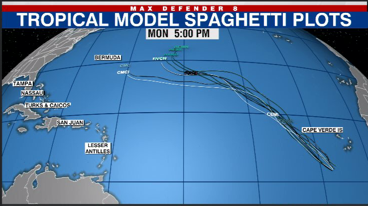
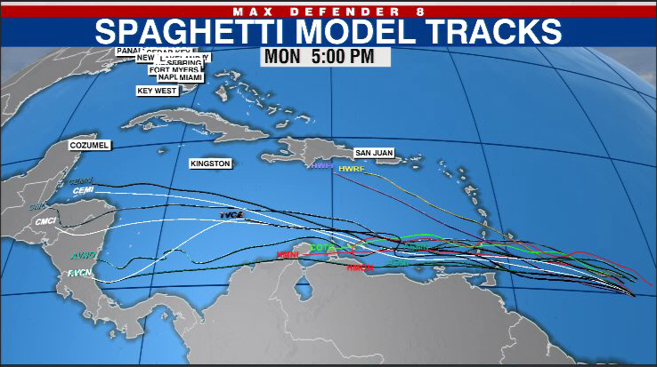
The second wave is now an area of interest being called invest-91L and it has a medium chance of developing this week as it moves into the eastern Caribbean. Long range forecast models mostly keep this disturbance well to our south but we are keeping an eye on it.
