TAMPA, Fla. (WFLA) – When Hurricane Hermine struck Florida around 1:30 a.m. on Sept. 2, 2016, it was the first hurricane to hit the state in nearly 11 years.
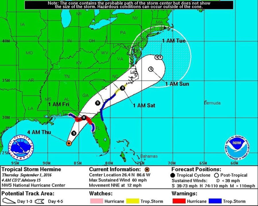
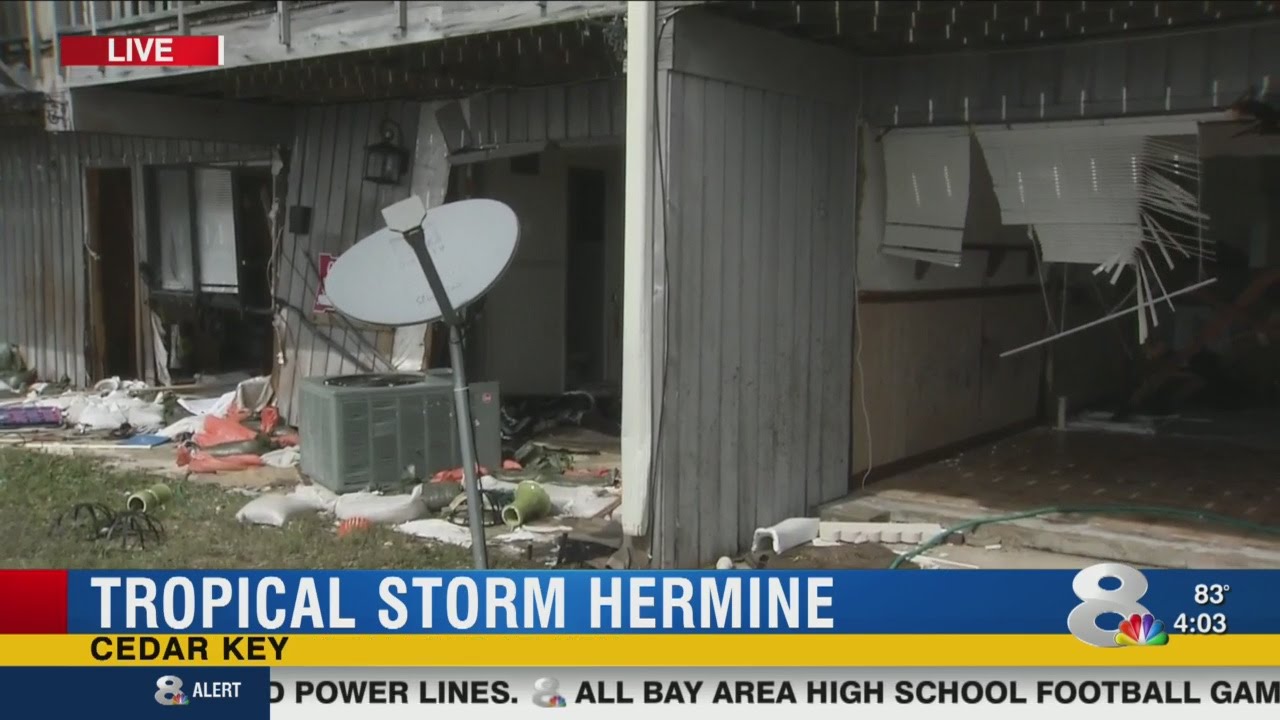
Hermine made landfall just east of St Mark’s in Florida’s Big Bend region, bringing flooding rain and high wind. Power outages were also widespread.
Prior to the strike in 2016, the state had experienced years without a landfall of a tropical system with hurricane-force winds. The previous landfall was Hurricane Wilma that struck south Florida as a Category 3 hurricane on Oct. 24, 2005.
The lists of names used for tropical systems repeat every six years. Names are retired from the lists when a tropical system creates enough damage and devastation, so that the name is no longer used.
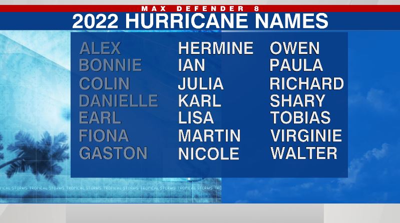
Six years after Hermine made landfall in 2016, the name is once again next on the list this year.
Activity in the tropics has picked up the past few weeks – the NHC is currently tracking Hurricane Fiona, Tropical Storm Gaston and three tropical waves. Whichever of the three waves forms first will get the name Hermine.
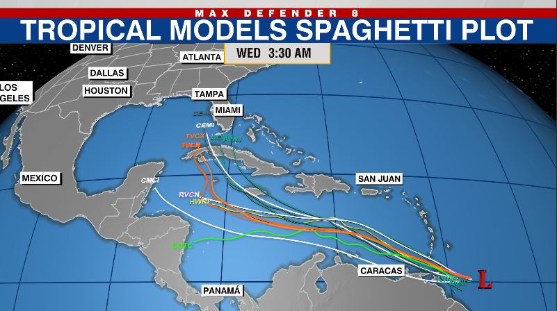
One of the waves, Invest 98L, is headed into the Caribbean. Many of the computer models strengthen this tropical wave and turn it north into the Gulf of Mexico. However, it’s still too early to tell how strong and exactly where the system will track.
Stay weather aware on the go with the free Max Defender 8 Weather app. You can also sign up to get daily forecast newsletters and weather alert emails sent to your inbox.


