TAMPA, Fla. (WFLA) — Florida’s classic summer pattern has been in full swing for over a month now with daily showers and thunderstorms in the afternoon. This summer pattern is what meteorologists call the “normal” pattern because it is typically in place for the majority of the summer.
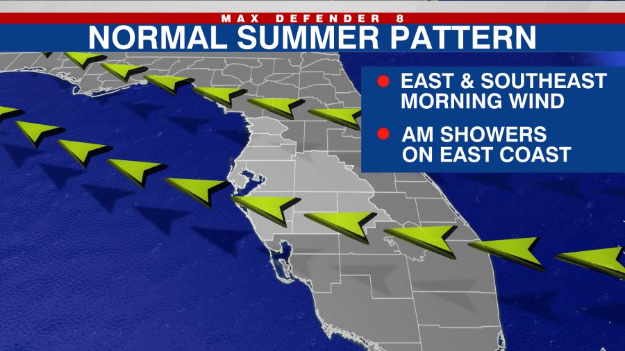
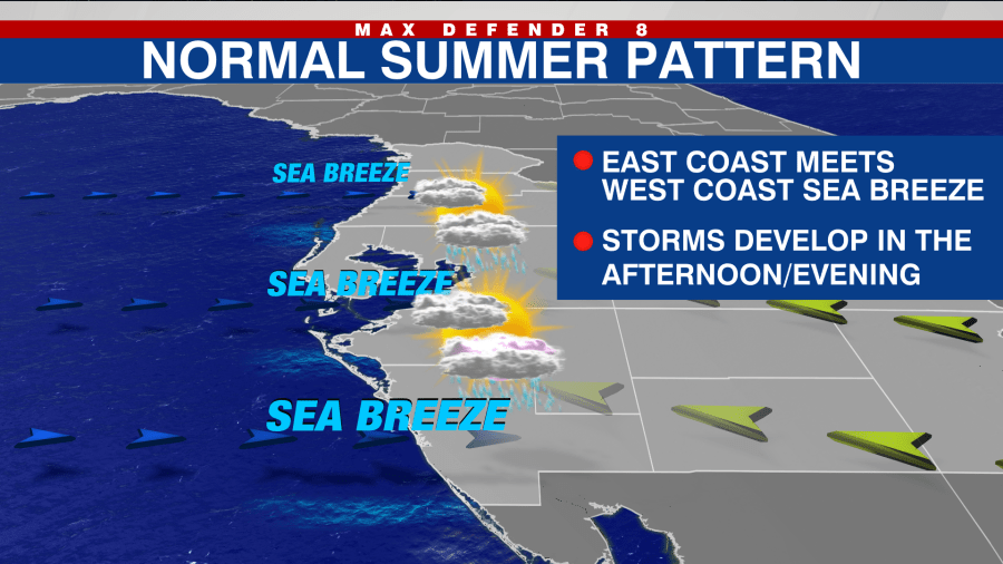
High pressure in the middle of the Atlantic gives the peninsula of Florida a predominantly southeast wind in the mornings. This allows the west coast sea breeze to develop in the afternoons. Thunderstorms develop along these boundaries each day, and become even more widespread when the sea-breezes meet somewhere in the middle of the state.
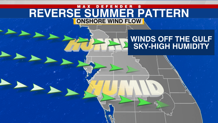
The “reverse” pattern of this is when a west or southwest wind off the Gulf of Mexico is dominant both in the mornings and afternoons. This brings in excessive humidity because of the warm waters.
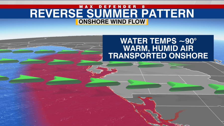
Water temperatures along the coast in the summer are in the low 90s and as the winds flow over the Gulf, they pick up and transport this moisture onto land.
It gives the atmosphere a tropical feel with lots of morning cloud cover as well.
It also changes the timing of our rain chances. Typically, in what we call the “onshore flow,” showers develop in the Gulf in the mornings, and winds transport these showers onshore. These showers then continue drifting west and in the afternoons. Most of the thunderstorms are inland and on Florida’s east coast.
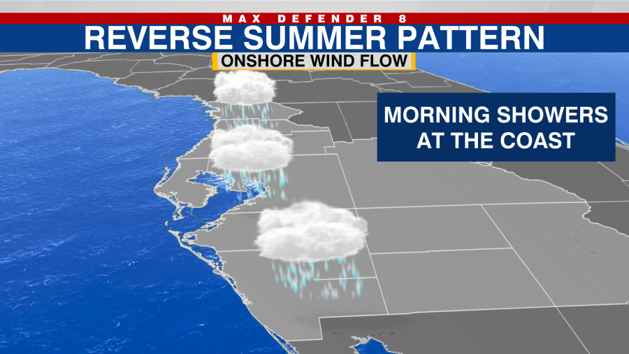
This pattern is forecast to set up next week.


