TAMPA, Fla. (WFLA) — Severe thunderstorms, tornadoes and hail have all been reported across the Tampa Bay area this week. This is not all that uncommon this early in rainy season.
While afternoon thunderstorms should be expected more often than not through September, the storms will not be this strong all summer long.
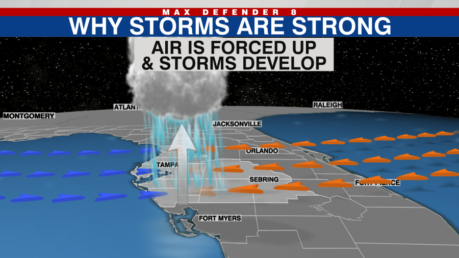
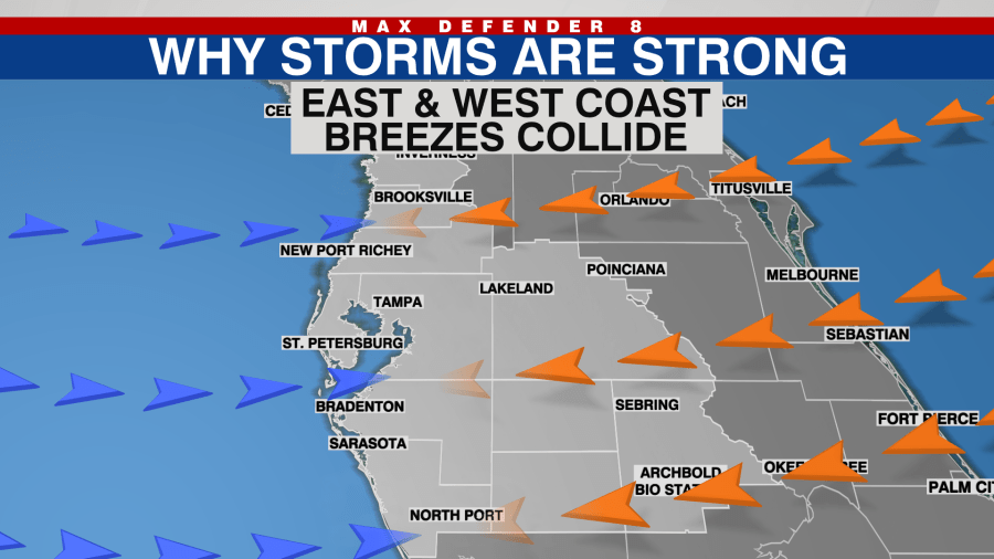
On a typical summertime day, the east coast sea breeze meets up with the west coast sea breeze. Since air cannot be forced down because of the land, it is forced to rise and thunderstorms develop.
This time of the year, the air above the surface, near the tops of those afternoon storms, is still quite cold. Those building storms in the afternoon can tap into that colder air and can make storms a good bit stronger. Dry air in the tops of the storms can enhance the stronger storms as well.
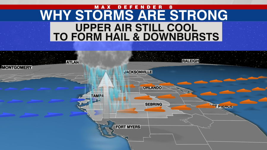
The colder air in the upper levels of the atmosphere can linger through June creating strong winds, the potential for waterspouts, hail and some flooding.

After June, the air temperatures are quite warm throughout much of the atmosphere. This leads to a lower severe threat and more of a heavy rain and flooding threat July through early September.
Stay weather aware on the go with the free Max Defender 8 Weather app. You can also sign up to get daily forecast newsletters and weather alert emails sent to your inbox.


