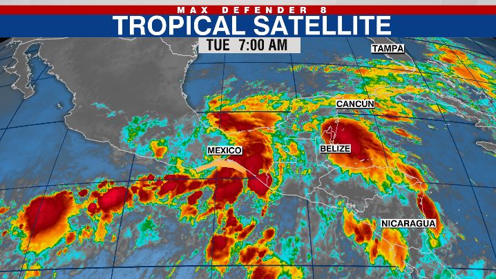
TAMPA, Fla. (WFLA) — A hurricane in the Pacific named Agatha made landfall in Mexico as a Category 2 hurricane Monday. It was the strongest landfall storm in the month of May.

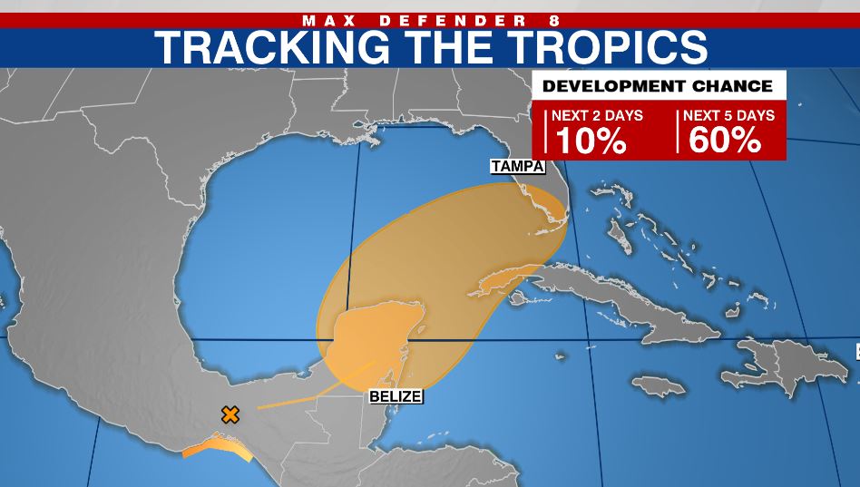
The system quickly weakened over land in Mexico, but the storm’s remnants continue to drift east Tuesday, meaning it has the potential to re-strengthen once it enters the southern Gulf of Mexico or Caribbean Sea.

The National Hurricane Center gives the remnants a 60% chance of redevelopment over the next five days as the system heads northeast.
The forecast models will have a difficult time initializing and getting a handle of this system until it gets back over water, so right now, there is lots of uncertainty and disagreement. We expect their forecasts to change over the next few days.
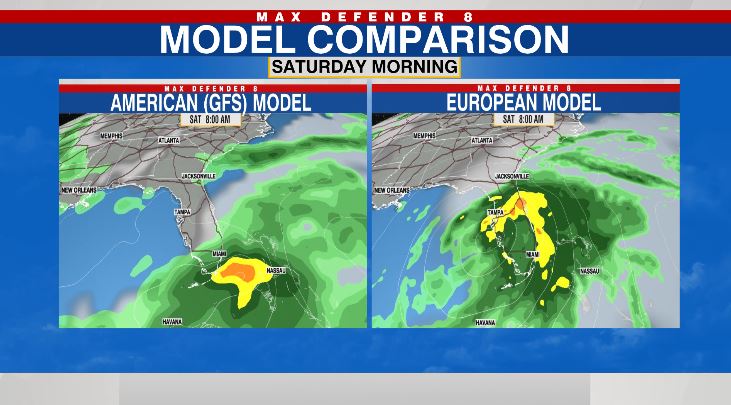
Currently, the European forecast model takes the system farther north and closer to the state of Florida. This would mean higher rain chances this weekend and some stronger winds as well.

The GFS or the American model keeps it much weaker and south of Florida. The Canadian model also keeps it farther south. If that happens, our rain chances would be limited this weekend.
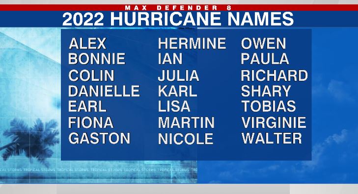
If the system does redevelop, it would be given the name Alex since it will be an Atlantic storm rather than a Pacific storm.

Stay weather aware on the go with the free Max Defender 8 Weather app. You can also sign up to get daily forecast newsletters and weather alert emails sent to your inbox.


